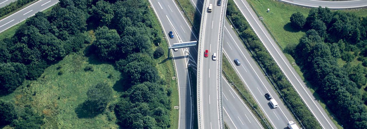


Between 1993 and 2017, there was a 42% increase in new road lane miles added in the nation’s largest 100 urban areas, equating to over 30,000 miles.1 Despite interest in potentially reducing and repurposing some of the existing road lane miles, a growing population and roadway congestion continue to drive expansion.
The addition of new roadways and transportation assets across the country continues to encumber State Departments of Transportation. They are tasked with maintaining, modernizing, repurposing, and retiring this critical infrastructure. Counterintuitively, these new roads can add more congestion from the growing sprawl between businesses, houses, and stores,2 expanding our ecological footprint.
Geospatial technology presents a solution
A geographic information system (GIS) is a system that creates, manages, analyzes, and maps data of all types.3 Geospatial technology has existed for decades, but the full potential of these technologies is being realized through modeling and cloud-based, shareable data streams that connect our communities. These solutions can help industry experts address many of our transportation problems.
GIS also enables users to associate nearly infinite data points to geographical maps and visualize correlations in patterns and relationships.
The use of geospatial technologies has helped many industries, including emergency management and response, transportation and tolls, transit, biosciences, construction, and engineering.
Making transportation asset management easier for agencies
As defined by the Federal Highway Administration, transportation asset management focuses on 3 key pillars4:
- Keeping the infrastructure in as good or better condition than it is now
- Developing and implementing a logical capital improvement plan
- Containing the costs of planning, building, operating, and maintaining the facilities
Geospatial technologies can be integrated into a wide variety of tools including project management and budgeting platforms. Transportation agency personnel record information, perform inspections, and locate assets with mobile devices equipped with geospatial solutions.5
Geospatial data can lead our government officials to make better, more informed decisions. Citizen demographic data correlates to better planning of transit routes in currently underserved neighborhoods. Data generated from vehicular accidents helps to identify intersections needing safety improvements. Asphalt sample location data gives engineers the ability to evaluate the quality of products being laid on every project.
Planning more efficient transit routes
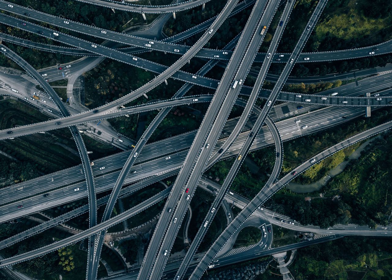
Adding roads doesn’t always reduce congestion, and each additional lane mile of road costs between $4.2 and $15.4 million to build and $24,000 a year to maintain.6 Citizens are demanding effective route planning to balance the reduction of congestion and traffic with thoughtful stewardship of tax dollars. Effective planning hinges on actionable data with a significant amount of geospatial data that allows for visualization and predictive modeling.
Between the integration of transportation forecasting software and varied data points such as land use, traffic flows, environmental impacts, public transit routes, and hauling corridors, geospatial technologies can help transportation agencies successfully plan for future roadway expansions. Geospatial technologies can also integrate with other solutions, such as engineering software models like CAD, to help with route design.7
Offsetting our transportation ecological footprint
The recent Inflation Reduction Act of 2022 (IRA) and Infrastructure Investment and Jobs Act (IIJA) focus on sourcing and expanding greener technologies like electric vehicles and clean energy so we can halt rising pollution levels and pass on a healthier planet to future generations. Geospatial technologies improve access to data related to protected lands, energy transmission, congestion ratings, and object distances, helping transportation agencies find ways to offset the transportation ecological footprint.
Agencies can use geospatial solutions to explore innovative options for offsetting carbon footprints and potentially assist with justifying IIJA grant applications for green projects. Innovative agencies are already using geospatial data to assess stormwater runoff, plan electric vehicle charging locations, manage traffic congestion, monitor vessel wait times at ports, and monitor wear on recycled asphalt roadways.
Trust an experienced partner to help you succeed with GIS
CAI understands the importance of geospatial solutions and is a silver partner with the industry-leading GIS provider, Esri.
Start a conversation with us about the challenges your agency faces and let us show you how GIS and geospatial solutions can be your answer.
Endnotes
- Sisson, Patrick. “Expanding highways and building more roads actually makes traffic worse.” Curbed - Transportation. March 6, 2020. https://archive.curbed.com/2020/3/6/21166655/highway-traffic-congestion-induced-demand. ↩
- Hymel, Kent. “If you build it, they will drive: Measuring induced demand for vehicle travel in urban areas.” ScienceDirect. April 2019. https://www.sciencedirect.com/science/article/abs/pii/S0967070X18301720. ↩
- “What is GIS?” Esri. https://www.esri.com/en-us/what-is-gis/overview. ↩
- Gaj, Steve. “Asset Management Overview – What is Transportation Asset Management?” U.S. Department of Transportation - Federal Highway Administration. https://www.fhwa.dot.gov/asset/if08008/amo_02.cfm. ↩
- “GIS for Transportation Infrastructure Management.” Esri. https://www.esri.com/content/dam/esrisites/sitecore-archive/Files/Pdfs/library/brochures/pdfs/transportation-infrastructure.pdf. ↩
- Sisson, “Expanding highways makes traffic worse.” ↩
- “GIS for Transportation Infrastructure Management.” Esri. ↩